
Weather was reasonable in the valley but cloudy over the peaks. I hiked up to Stickle Tarn pretty rapidly passing a few groups of walkers and followed the tarn around to take a direct line up Sergeant Man, now in the clouds. Ground was quite wet with a few pockets of snow around. From here I followed a bearing for a small tarn not far from the top of High Raise, and then from there to the trig point on High Raise for a quick photo and to put my jacket on. From here the weather became more cloudy and some light rain, pretty windy in places but not too bad until it got dark.
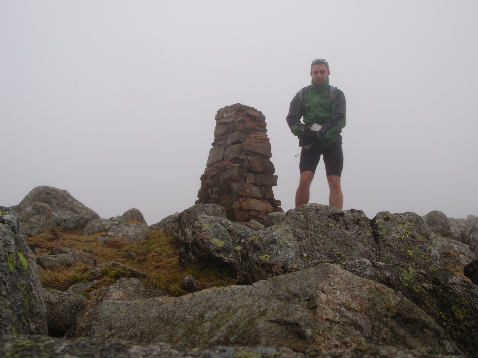 |
| High Raise, the best weather I had really. |
After HR I headed in the direction of Thunacar Knot on to Harrison Stickle before wolfing down a bit more food and a 9 bar and heading on to Pike of Stickle. I dashed across Martcrag Moor which was quite enjoyable long gradual descent with a few bogs and things to bounce through.After this I went around onto Rosset Pike enjoying some rock hopping on route.
 |
| Tombstone like rock nr Rosset Pike |
'Which way is down?' He asked.... It was clearly the opposite way to where they were going as they were pushing uphill.
Where are you going? I asked
'To the bottom, where the car park is, next to THE lake!'
I'm not being funny, but there are a lot of lakes being the Lake District do you know the name of it? I don't want to send you the wrong way!
After a look on his printed out map we figured it out and they carried on to 'the top' presumably Scafell Pike. Not very easy to find in cloud with no propper map or compass, always worth having one even on a clear day and knowing how to use it, just in case!
I headed down towards Wasdale to the wall that crosses the path near Lingmell Gill before cutting around Scafell heading southwards and then taking a pretty direct line upto Scafell. Didn't hang around too long as time was getting on I moved on to Foxes Tarn and followed the valley down with a good pace to the river Esk. My route took me up towards Esk Hause and it began to get dark pretty quick so out came the head torch. I headed back over Esk Pike towards Bowfell with the conditions worsening the wind was quite strong and although I was dry beneath my jacket, the weather wasn't getting any more pleasant! I decided to cut off and head down into the valley where conditions wouldn't be as bad and there was an easy trail to get back to Langdale as it was getting late and I had to be working at 6.30. Onto the Cumbria way which could accommodate a car I picked up a good pace and followed it all the way past the Old Dungeon Ghyll pub and back to my car.
 |
| Before it got dark, looking towards river Esk |
Totalled 2700m elevation, 40km and a good day out. Legs not really feeling any aches although I wasn't pushing the pace particularly hard. Good nav practice!
 |
| Pretty much best view all day! |
Langdale, Stickle Tarn, Sergeant Man, High Raise, Thunacar Knot, Harrison Stickle, Pike of Stickle, Martcrag Moor, Buck Pike, Rosset Pike, Esk Pike, Great End, Ill Crag, Broad Crag, Scafell Pike, Scafell, Esk Hause, Angle Tarn, Langdale!
No comments:
Post a Comment